
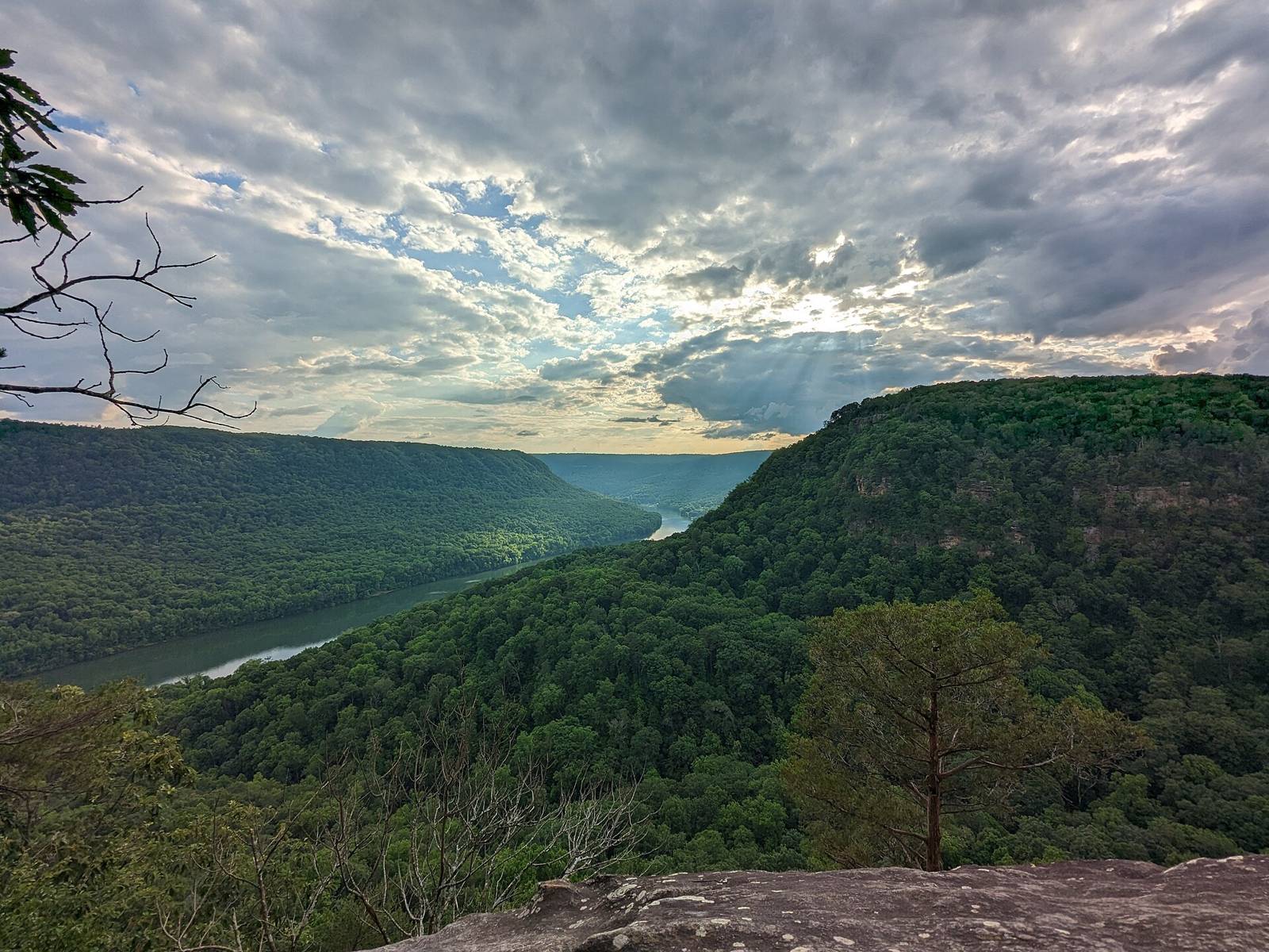
 Lazybookwyrm · CC BY 4.0
2,231 places within 75 miles
Destinations
Trailheads, crags, put-ins, boat ramps, overlooks, waterfalls and parks around Chattanooga: pick a type, see where they are, get directions.
Browse by type
All types
Parks391 places
Show on map
Thomsonmg2000
Boat ramps345 places
Show on map
Bryce Edwards
Paddling put-ins292 places
Show on map
Gloria Bell
Trailheads240 places
Show on map
Chad Madden chadmadden
Overlooks151 places
Show on map
Lazybookwyrm
Waterfalls146 places
Show on map
Casey Fleser (Flickr user somegeekintn)
Climbing areas132 places
Show on map
Gloria Bell
Public lands & natural areas119 places
Show on map
Lazybookwyrm
Trail systems109 places
Show on map
Dsdugan
Campgrounds102 places
Show on map
J. Michael Scarborough
Fishing access points60 places
Show on map
National Trails Office (US National Park Service)
Parking areas47 places
Show on map
John Phelan
Cave preserves44 places
Show on map
RebelCowboySnB Marlon N Weldon
Bouldering areas13 places
Show on map
Pub. by W. M. Cline Co., Chattanooga, Tennessee
Flight parks12 places
Show on map
Thomsonmg2000
Swimming holes12 places
Show on map
J. Michael Scarborough
Disc golf courses7 places
Show on map
Chattanooga2018
Caves5 places
Show on map
Dsdugan
Visitor centers4 places
Show on map
John Phelan
Browse
By region
Downtown & Riverfront295 placesOcoee & Cohutta262 placesDayton & Laurel-Snow260 placesSewanee & Monteagle192 placesSouth Cumberland & Sequatchie Valley191 placesNorth Chick, Soddy & Cumberland Trail170 placesFall Creek Falls & Spencer143 placesScottsboro & Lake Guntersville126 placesEast Brainerd, Collegedale & White Oak Mountain124 placesChickamauga Battlefield & Ringgold124 placesCleveland & the Hiwassee122 placesSignal Mountain & Prentice Cooper120 placesChickamauga Lake & Harrison Bay116 placesLookout Mountain107 placesTellico & Cherohala95 placesDalton, Cohutta foothills & Pinhoti87 placesLittle River Canyon, DeSoto & Fort Payne85 placesCloudland Canyon & Pigeon Mountain43 placesRaccoon Mountain & the River Gorge32 placesLookout Valley, Trenton & Sand Mountain22 places
159 places
Clear filters A to Z
Short Creek — Route 75 to Hustleville Rd. (put-in)
Soak Creek — Dirt road, off Jewitt Rd to Piney River (put-in)
Soddy Creek — Waldens Ridge to Jones Gap Road (put-in)
South Sauty Creek — Lower: Bucks Pocket to Guntersville Lake (put-in)
Spring Creek (Hiwassee Tributary) — Concrete Bridge to Spring Creek Campsite 1 (put-in)
Stinging Fork — Stinging Fork Falls to Piney River (put-in)
Stone Coalbank Creek — Nunley Road to Cartwright Loop Road (put-in)
Stringer Creek — CR 38 to South Sauty Creek (put-in)
Suck Creek — Suck Confluence to Bridge (put-in)
Suck Creek, North — above pipeline to Suck Confluence (put-in)
Suck Creek, South — undisclosed put-in (Pipeline?) to Suck Confluence (put-in)
Tails Creek — Hwy 76 To Carters Lake [Ridgeway boat ramp]. (put-in)
Talking Rock Creek — 1- GA Highway 5 in Blaine to GA Highway 136 (put-in)
Talking Rock Creek — GA Highway 136 to Carters Lake Reservoir (put-in)
Tellico — 1. Trout Hatchery to Bridge above Bald River (put-in)
Tellico — 3. Bridge below Jared’s Knee to Ranger Station (put-in)
Tellico — 4. Oosterneck Access point to Tellico Plains (put-in)
Tellico River — 2. Bridge above Bald River to bridge below Jared’s Knee (put-in)
Town Creek — 2) Below the Mill Slide at 227 to above High Falls (put-in)
Turkey Creek — Walls of Jericho Gorge (put-in)
Turkey Creek — Waucheesi to Tellico River (put-in)
Turtletown Creek — Off Hwy 68 near Farner to off F.S. road 23 (put-in)
Warren Creek — Hwy 301 to Nickajack Lake (put-in)
Whippoorwill Creek — CR 532 to Double Bridges (put-in)
White’s Creek (Rhea County) — 1. Rt 68 to Possum Trot/Alloway Bridge (put-in)
White’s Creek (Rhea County) — 2. Possum Trot/Alloway Road to Route 27 (put-in)
Wolf Creek (Hiwassee R. trib.) — FR to Hiwassee River (put-in)
Wolf Creek (LRC Tributary) — Rt. 176 to Little River (put-in)
Wolf Creek (Weiss Lake Tributary) — CR49 to CR47 (put-in)
Woodcock Creek — Woodcock Gulf to Daus (put-in)
Yellow Creek — First Falls to Lake (put-in)
Yellow Creek (Bullet Crk. trib./Monroe Co.) — FR 44 to Bullet Creek (put-in)
Place data compiled from public agency GIS (Tennessee State Parks, TWRA, USFS, City of Chattanooga, TDEC, USGS PAD-US), land managers and clubs, and OpenStreetMap contributors (ODbL). Confirm access rules with the land manager before you go.