
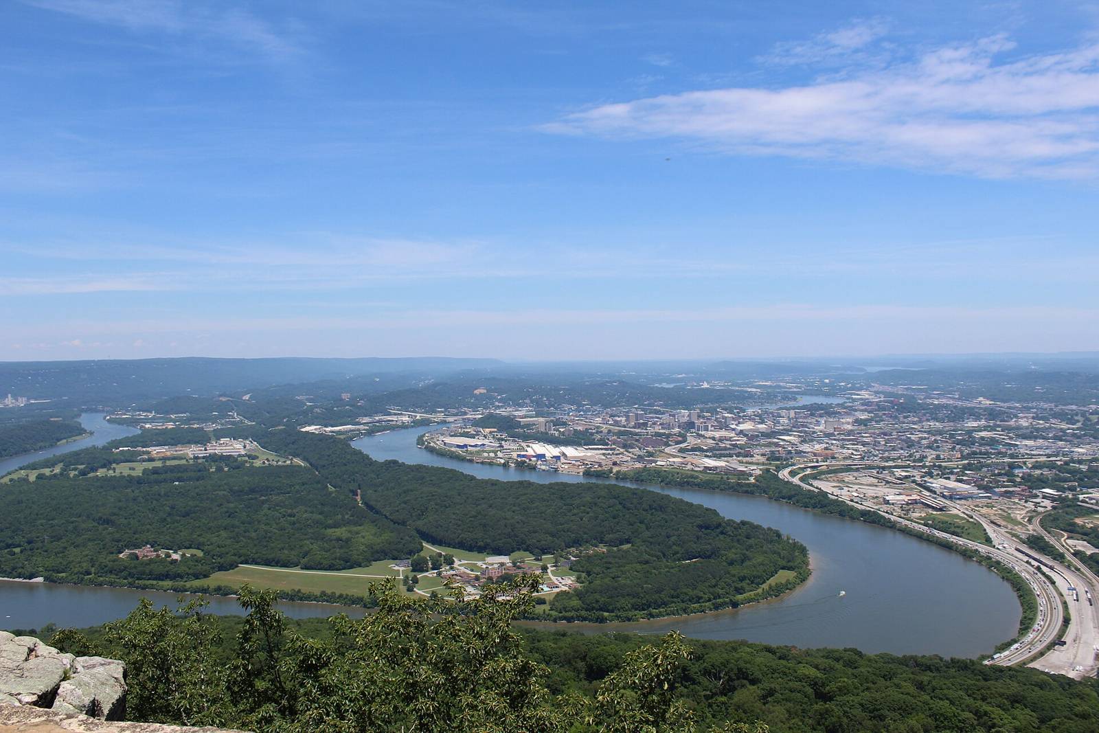
Moccasin Bend and the Tennessee River from Point Park, Lookout MountainGloria Bell · CC BY 2.0
Ocoee & Cohutta Paddling access

Tails Creek — Hwy 76 To Carters Lake [Ridgeway boat ramp]. (put-in)

Paddling · WhitewaterActivities
Ocoee & CohuttaGA
varies (see AW page)Managed by

AW reach 11157: Tails Creek — Hwy 76 To Carters Lake [Ridgeway boat ramp]. (class IItoIIIplusstandoutV, 4 mi). First access POI ‘Put In’ used as put-in. Take-out(s): Take Out 34.6503,-84.6106.

Maps & guidebooks

Know this place?

Suggest an update for Tails Creek — Hwy 76 To Carters Lake [Ridgeway boat ramp]. (put-in)

Parking that moved, a fee that changed, a better photo, a link to the club or guidebook that covers it — anything that helps the next person. An editor reads every note before it goes on the page.

or email us instead

Photos you send must be yours or openly licensed; we print the credit.

Nearby

Close to here

Boat ramp2.5 mi

Ridgeway

Fishing Paddling Swimming, Diving & Water Sports Dalton, Cohutta foothills & Pinhoti
Trail system5.1 mi

Amadahy Trail

Hiking Dalton, Cohutta foothills & Pinhoti
Public land & natural area5.1 mi

Carters Lake

Dalton, Cohutta foothills & Pinhoti

Source: American Whitewater, TWRA & TVA