
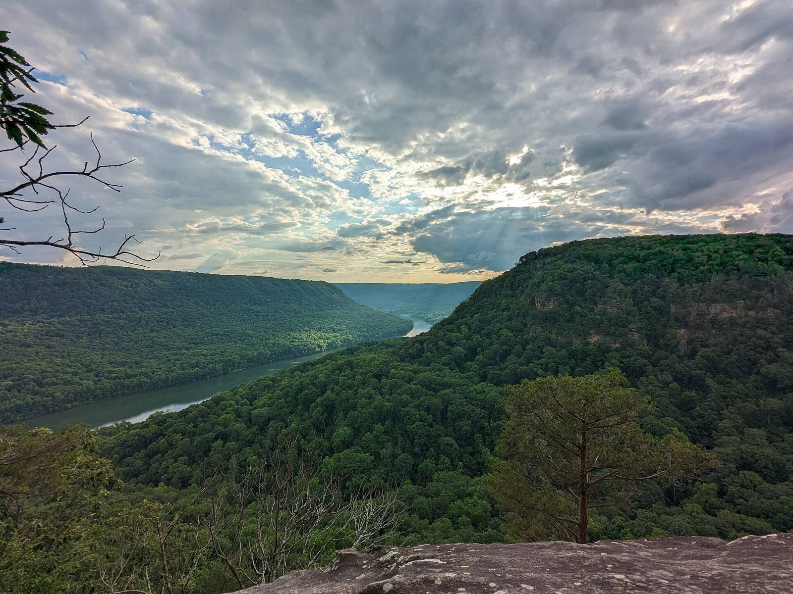
 Lazybookwyrm · CC BY 4.0
2,210 places within 75 miles
Destinations
Trailheads, crags, put-ins, boat ramps, overlooks, waterfalls and parks around Chattanooga: pick a type, see where they are, get directions.
Browse by type
All types
Parks387 places
Show on map
Thomsonmg2000
Boat ramps345 places
Show on map
Bryce Edwards
Paddling put-ins291 places
Show on map
Gloria Bell
Trailheads235 places
Show on map
Chad Madden chadmadden
Waterfalls149 places
Show on map
Casey Fleser (Flickr user somegeekintn)
Overlooks140 places
Show on map
Lazybookwyrm
Climbing areas133 places
Show on map
Gloria Bell
Public lands & natural areas119 places
Show on map
Lazybookwyrm
Trail systems110 places
Show on map
Dsdugan
Campgrounds97 places
Show on map
J. Michael Scarborough
Fishing access points60 places
Show on map
National Trails Office (US National Park Service)
Parking areas56 places
Show on map
John Phelan
Cave preserves44 places
Show on map
RebelCowboySnB Marlon N Weldon
Bouldering areas13 places
Show on map
Pub. by W. M. Cline Co., Chattanooga, Tennessee
Flight parks12 places
Show on map
Thomsonmg2000
Disc golf courses7 places
Show on map
Chattanooga2018
Swimming holes6 places
Show on map
J. Michael Scarborough
Caves5 places
Show on map
Dsdugan
Visitor centers1 place
Show on map
John Phelan
Browse
By region
Dayton & Laurel-Snow255 placesOcoee & Cohutta235 placesSouth Cumberland & Sequatchie Valley188 placesSewanee & Monteagle183 placesFall Creek Falls & Spencer138 placesNorth Chick, Soddy & Cumberland Trail131 placesScottsboro & Lake Guntersville125 placesCleveland & the Hiwassee97 placesDowntown & Riverfront93 placesChickamauga Lake & Harrison Bay93 placesTellico & Cherohala92 placesSignal Mountain & Prentice Cooper87 placesLittle River Canyon, DeSoto & Fort Payne83 placesDalton, Cohutta foothills & Pinhoti81 placesLookout Mountain68 placesChickamauga Battlefield & Ringgold46 placesCloudland Canyon & Pigeon Mountain43 placesEast Brainerd, Collegedale & White Oak Mountain39 placesRaccoon Mountain & the River Gorge31 placesLookout Valley, Trenton & Sand Mountain21 places
2,210 places
A to Z
Wolftever Creek Bird Sanctuary
Wolftever Creek Greenway
Wolftever Fishing Club (commercial)
Wolftever Greenway
Wonder Cave
Woodbury Access
Woodcock Cove
Woodcock Creek — Woodcock Gulf to Daus (put-in)
Woodland Point Boat Ramp
Woodring Branch Camping Area
Woodring Branch Day Use Area
Wyeth Park
Yellow Bluff Overlook
Yellow Bluff View
Yellow Cliff
Yellow Creek — First Falls to Lake (put-in)
Yellow Creek (Bullet Crk. trib./Monroe Co.) — FR 44 to Bullet Creek (put-in)
Yellow Creek Wildlife Management Area
YMCA
YMCA Camp Maclellan (TVA ramp)
YMCA Camp Ocoee
Youngstown Road Trailhead (SCC Greenway)
Yuchi Refuge
Zahnd
Zahnd Natural Area
Place data compiled from public agency GIS (Tennessee State Parks, TWRA, USFS, City of Chattanooga, TDEC, USGS PAD-US), land managers and clubs, and OpenStreetMap contributors (ODbL). Confirm access rules with the land manager before you go.