
FIT4MOM Run Club+ Monday group run
Rembrandt's Coffee House FIT4MOM Chattanooga
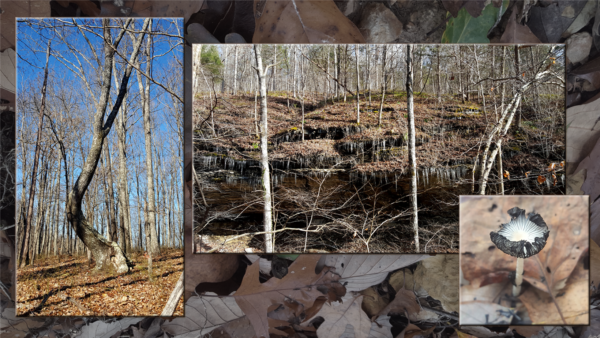
Tuesday, DECEMBER 15 – West Fork Trail, near Benton and the Ocoee River, 4.4 miles, 498’ el. gain, out & back, moderate. This trail is a section of the 300-mile Benton McKaye Trail, which starts at Springer Mountain GA and travels through GA, TN, and NC to end at Big Creek in the GSMNP. We’ll do the section with its trailhead south of Thunder Creek Campground on the Ocoee River. The most challenging part of our trip may be negotiating the rough dirt road up to the trailhead. Our trail in the remote Big Frog Wilderness heads down and then up, with many fine views, before we retrace our steps. We will be traveling parallel to the West Fork of Rough Creek, which we will cross twice. Both crossings are easy, but if we get more rain than usual, we may need to bring water shoes.
Check the weather forecast within a day of the hike, as earlier forecasts can change dramatically—even on the morning of the hike! Choose appropriate layers; wear hiking shoes or boots; bring snacks and/or lunch along with more water than you think you need; use insect repellent, hiking poles, sunscreen, and rain jacket as needed.
For carpooling/caravanning, meet at 8:20 am ET at in the parking area near the gas station at Food City in Ooltewah, right (east) off I-75 exit 11. https://bit.ly/3dwmbxn Register with hike leader Craig Doucette, (239) 229-5010. Suggested carpool donation: $5.00.
Source: Craig Doucette