
Catalyst Adaptive Climb Night
High Point Climbing and Fitness High Point Climbing and Fitness
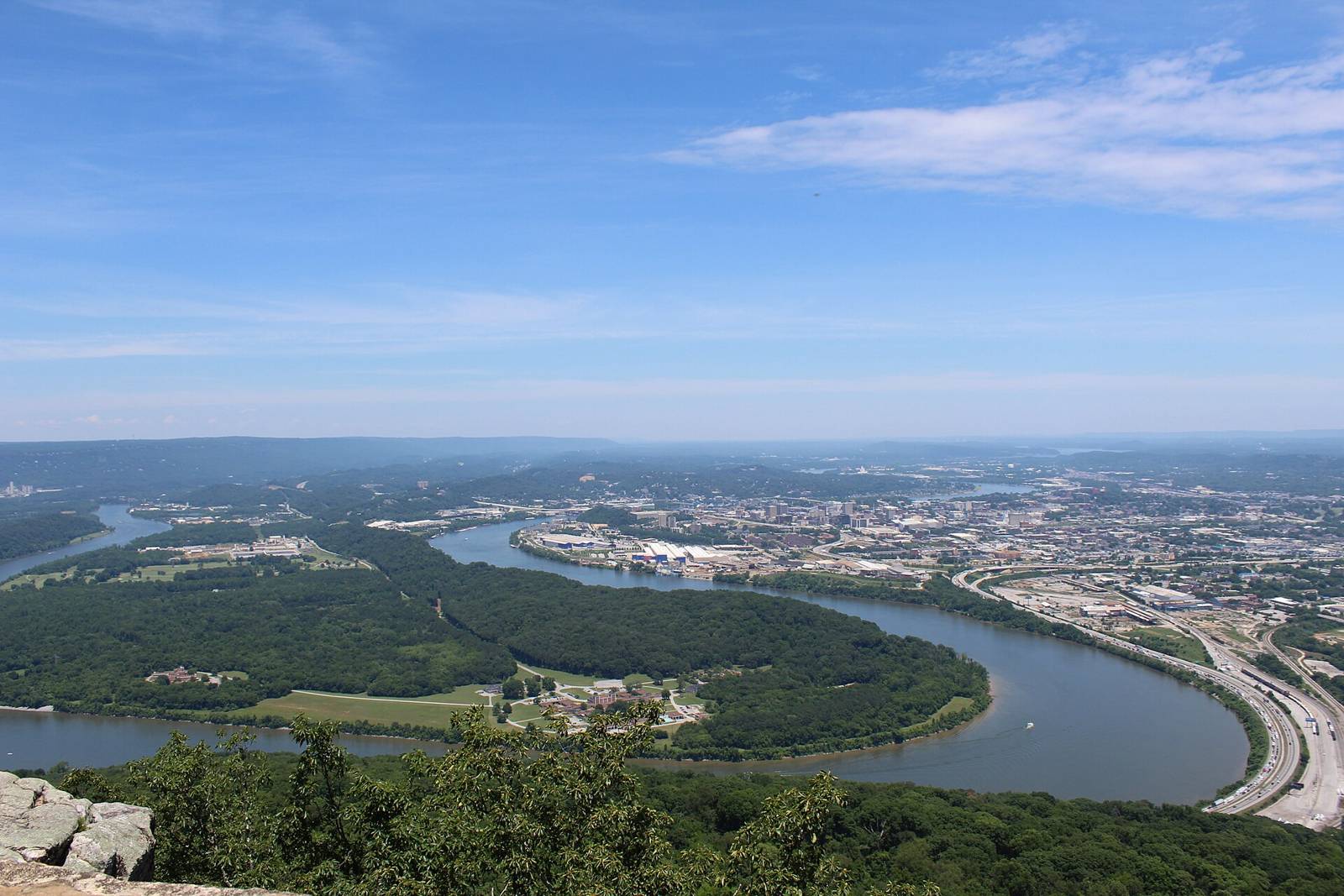 Gloria Bell · CC BY 2.0
Also known as the “Riverwalk,” this paved greenway runs 8 miles east to Chickamauga Dam. Map available at: http://www.hamiltontn.gov/TNRiverpark/Map.aspx The Riverpark is open to walkers, runners, cyclists, and inline skaters. Dogs are not permitted.
Tennessee River Blueway map (Outdoor Chattanooga WPGMZA marker id 18). Also known as the “Riverwalk,” this paved greenway runs 8 miles east to Chickamauga Dam. Map available at: http://www.hamiltontn.gov/TNRiverpark/Map.aspx The Riverpark is open to walkers, runners, cyclists, and inline skaters. Dogs are not permitted.
Source: Outdoor Chattanooga · Also listed at outdoorchattanooga.com