
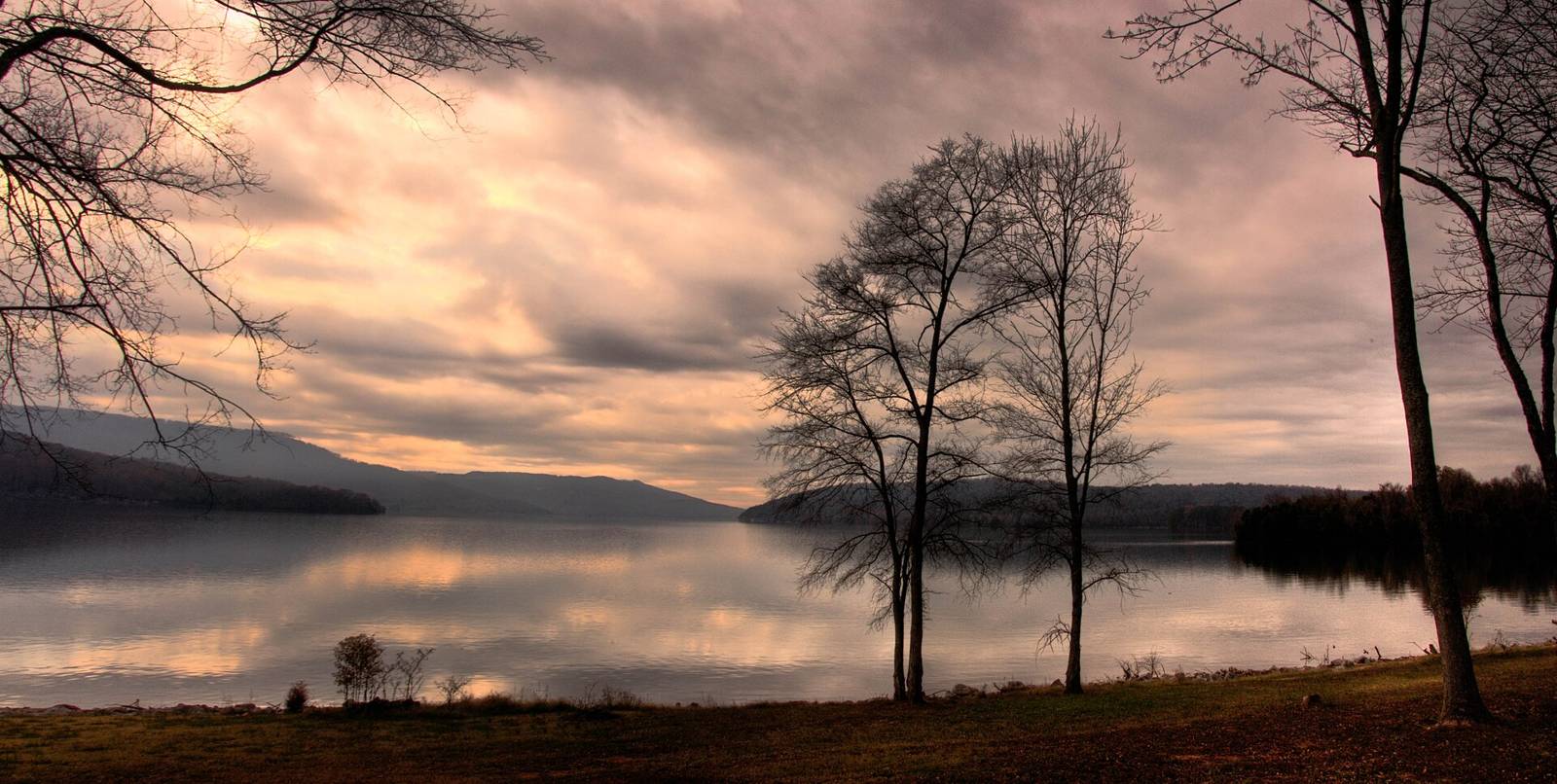
 Bryce Edwards · CC BY 2.0
Fishing · Paddling · Swimming, Diving & Water SportsActivities
Nickajack ReservoirTN
TWRAManaged by
Managed by TN Wildlife Resources Agency. Free Parking, but not recommended overnight. No rest rooms or potable water. Small grocery store with sporadic hours across the street.
TN River mile 453.3; first launch into the Gorge; TWRA access-site name SUCK CREEK (tnmap layer 1). Google place link on TRGT page 35.1097534,-85.3655874.
OSM leisure=slipway node (queried via overpass.private.coffee). Manager as tagged or inferred; verify before publishing.
TWRA AllAccessSites OBJECTID 282, Access_Num 372; waterway Nickajack Reservoir. ramp: Concrete; lanes: 2; launchable: All Vessels; usable at winter pool: Yes; canoe landing: Yes; motorized: Yes Blueway map: Managed by TN Wildlife Resources Agency. Free Parking, but not recommended overnight. No rest rooms or potable water. Small grocery store with sporadic hours across the street.
Fee: NoHours: 24
Parking & getting there
Gravel, Greater Than 25, trailer spaces Greater than 25
Learn more
Maps & guidebooks
Nearby
Close to here
Cumberland Trail
Julia Falls
Julia Falls 95
Edward’s Point (Cumberland Trail)
Memorial Park
Source: Outdoor Chattanooga · Also listed at trgt.org tn.gov · OpenStreetMap (ODbL)