
Volunteer Orientation
Outdoor Chattanooga 200 River Street Chattanooga TN 37405 Outdoor Chattanooga
 Chad Madden chadmadden · CC0
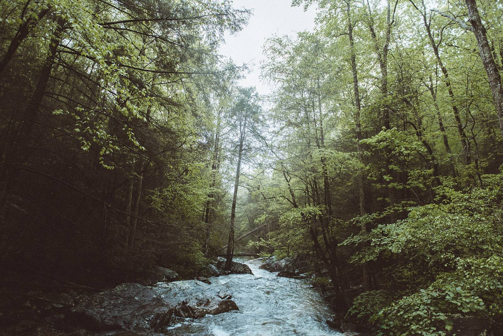
The result of an effort to preserve one of the last large natural areas within the City of Chattanooga, the 92-acre wilderness park features easy to moderately technical multi use trails, a Civil War cannon placement and spectacular views.
92 acres, 7 mi multi-use. Point from pwgis Parks layer OBJECTID for ‘Stringers Ridge’. CityTrails layer has the trail geometry.
92-acre urban wilderness, ~6-7 mi bi-directional multi-use singletrack, overlook of downtown. Trailforks rid 14283 (12 trails, 6 mi, Open 2026-08-26). Shred Bank Thursday ride laps here. MTB Project 8011569.
Main trailhead at the end of Spears Avenue (paved lot, restrooms, bike repair station, pump track); second trailhead at High Ridge Dr; south access on Old Bell Ave.
Source: Outdoor Chattanooga · Also listed at chattanooga.gov outdoorchattanooga.com sorbachattanooga.org · OpenStreetMap (ODbL)