
Trail Work Party at Raccoon for National Trails Day
Raccoon Mountain SORBA Chattanooga
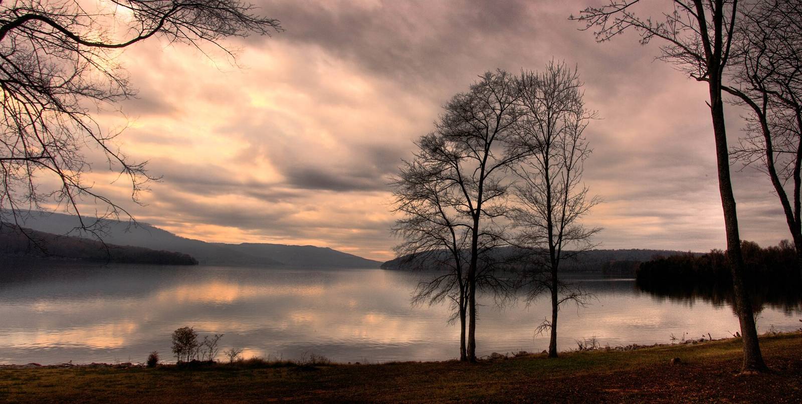 Bryce Edwards · CC BY 2.0
Also a paddling put-in (TN River Blueway). Coordinates not exposed by sources fetched.
TN River mile 444.4, south bank; TWRA access ‘Raccoon Mountain’; also TVA rec point Boat Ramp (Raccoon Mountain Pumped Storage) 35.06013,-85.4166 and TVA parking 35.0609,-85.41302. River-level trailhead for Raccoon Mtn trails.
OSM leisure=slipway node (queried via overpass.private.coffee). Manager as tagged or inferred; verify before publishing.
TWRA AllAccessSites OBJECTID 402, Access_Num 138; waterway Nickajack Reservoir. ramp: Concrete; lanes: 2; launchable: Up to 26ft; fishing pier: Yes; courtesy dock: Yes; restrooms: Yes; usable at winter pool: Yes; canoe landing: Yes; ADA parking: Yes; motorized: Yes Blueway map: Free parking, with Tennessee Valley Authority security patrolling the area. Also on Outdoor Chattanooga camping map (marker 329, https://outdoorchattanooga.com/raccoon-mountain/).
Lot at the TVA boat ramp at the base of the mountain on the Tennessee River; immediate access to the bottom of Live Wire 2 and High Voltage; start of SORBA 'Raccoon Outer Loop from Boat Ramp' route. Trailforks POI 9359.
Source: Outdoor Chattanooga · Also listed at outdoorchattanooga.com trgt.org tn.gov · OpenStreetMap (ODbL)