
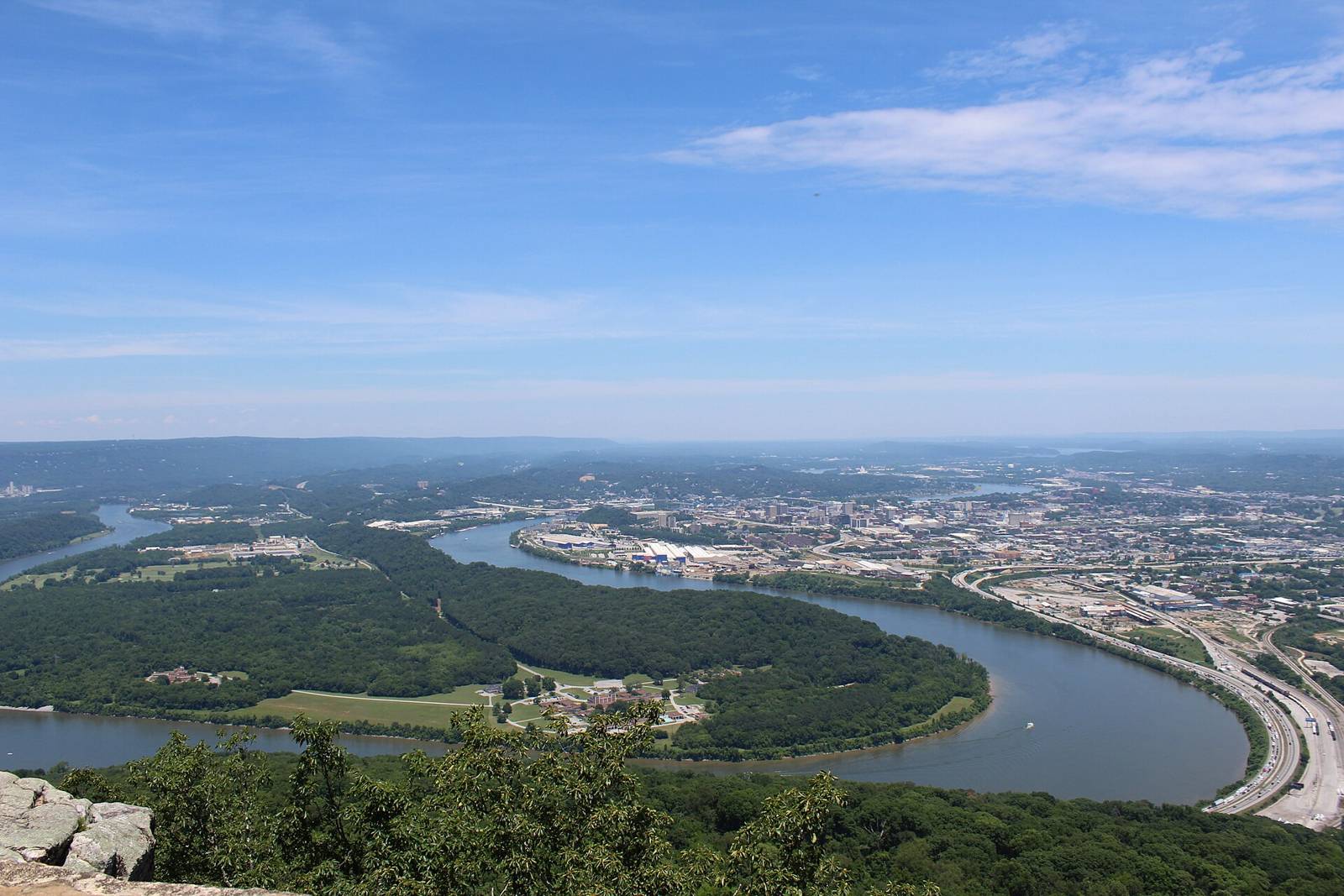
 Gloria Bell · CC BY 2.0
Camping · PaddlingActivities
South Cumberland & Sequatchie ValleyTN
see notesManaged by
Primitive campsite on river left, across from Oates Island. Located No water, toilet or other amenities. Pack in and pack out everything.
Tennessee River Blueway map (Outdoor Chattanooga WPGMZA marker id 45). Primitive campsite on river left, across from Oates Island. Located No water, toilet or other amenities. Pack in and pack out everything.
Maps & guidebooks
Nearby
Close to here
Hales Bar Marina and Campground
Hales Bar Marina
Hales Bar Resort & Marina
TVA Seredino Ramp
Hales Bar Upper ramp (Tennessee River)
Source: Outdoor Chattanooga · Also listed at outdoorchattanooga.com