
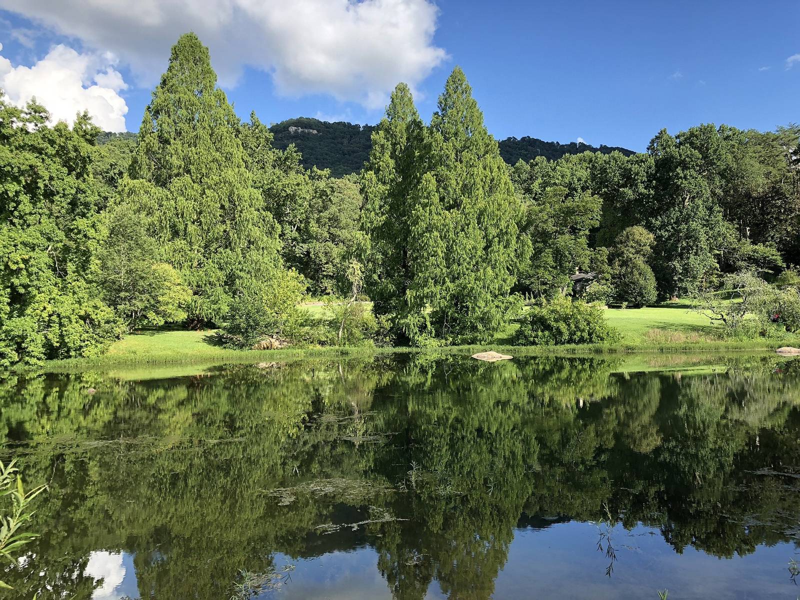
 Chattanooga2018 · CC BY-SA 4.0
Birding & Wildlife · Camping · ClimbingActivities
Fall Creek Falls State ParkTN
Tennessee State ParksManaged by
Fall Creek Falls State Park is one of Tennessee’s largest and most visited state parks, encompassing approximately 29,800 acres across the Cumberland Plateau. The park is known for its stunning waterfalls, including its namesake, Fall Creek Falls — one of the tallest waterfalls in the eastern United States. Visitors can explore the park’s diverse landscape through hiking, camping, and a variety of outdoor activities, making it a premier destination for nature enthusiasts.
29,800 ac; 256-ft Fall Creek Falls, Base of Falls trail, Cable Trail, Upper/Lower Loop, Chinquapin Ridge and Piney Creek MTB; Piney Falls Trail closed since 2023 tornado; day-use areas close at sunset, road to falls locked at dark. Betty Dunn Nature Center 10821 Park Rd is the main trailhead.
TDEC Recreation Assets layer: Asset_Type=Parking, Park=TSP-0312.
TSP API TSP-0100; status open; camping types [‘Backcountry’, ‘Mixed RV/Tent’, ‘Group’, ‘Primitive’, ‘Walk-In’]. Campgrounds: Fall Creek Falls Main Campground: Areas A – E (tent_rv, reservable=False); Fall Creek Falls Main Campground: Area C Primitive Sites (primitive, reservable=False); Fall Creek Falls Walk-In Campsites (walk_in, reservable=False); Fall Creek Falls Old Corner Campsites (backcountry_camping, reservable=False); Fall Creek Falls Piney Backcountry Campsites (backcountry_camping, reservable=False). Amenities: Adult-Sized Changing Table, All-Terrain Wheelchair, Bike Trails, Birding, Boat Access, Boat Ramp, Boat Rentals, Cabins, Camp Store, Campground, Canoe Access, Colorblind Viewfinder, Fishing, Gift Shop, Golf Course, Group Lodges, Hotel, Laundromat, Museum, Playground, Restaurant, Rock Climbing, Snack Also on Outdoor Chattanooga camping map (marker 210, https://outdoorchattanooga.com/fall-creek-falls/).
OSM waterway=waterfall node 4479455716. height 78 (OSM). Wikipedia: en:Fall Creek Falls. Land ownership/access not encoded in OSM — verify (tnlandforms ‘Locale’ column flags private falls).
Fee: freeDogs: leashed
Parking & getting there
Maps & guidebooks
- Fall Creek Falls State Park - Printable Trail MapINTERACTIVE
- Fall Creek Falls State Park - Printable Trail Map (Español)INTERACTIVE
- Fall Creek Falls State Park - Campground MapINTERACTIVE
- Fall Creek Falls State Park - Printable Nature Center MapINTERACTIVE
- Fall Creek Falls State Park - Printable Huntable Lands MapINTERACTIVE
- Fall Creek Falls State Park - Printable Campground MapPDF
- Fall Creek Falls State Park - Offline-Use GPS Trail MapINTERACTIVE
- Fall Creek Falls State Park - Offline-Use GPS Map (Español)INTERACTIVE
Nearby
Close to here
Parking area (Fall Creek Falls)
Fall Creek Falls SP parking area
Canopy Challenge Course
Walk-in Campsite 4 (Fall Creek Falls)
Walk-in Campsite 2 (Fall Creek Falls)
Source: Tennessee State Parks · Also listed at tnstateparks.com tn.gov · OpenStreetMap (ODbL)