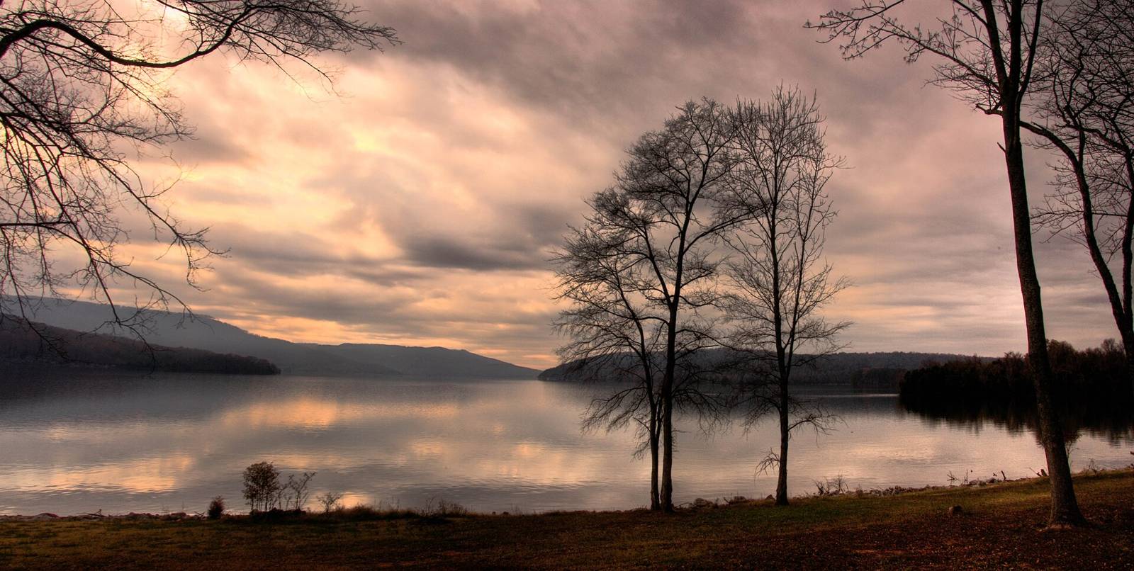
Sunset over Nickajack LakeBryce Edwards · CC BY 2.0
Little River Canyon, DeSoto & Fort Payne Public land & natural area

DeSoto State Park

Camping · Fishing · HikingActivities
Little River Canyon, DeSoto & Fort PayneAL
State Department of Natural ResourcesManaged by

State Park

3,502 ac; 35+ mi trails, 11 mi MTB, Talmadge Butler Boardwalk (ADA), DeSoto Scout Trail 16 mi to LIRI; trails dawn-dusk; dogs on leash. GPS unreliable per park – use written directions.

Outdoor Chattanooga camping map marker id 209.

Outdoor Chattanooga paddling map marker id 366.

Dogs: leashHours: dawn-dusk
Know this place?

Suggest an update for DeSoto State Park

Parking that moved, a fee that changed, a better photo, a link to the club or guidebook that covers it — anything that helps the next person. An editor reads every note before it goes on the page.

or email us instead

Photos you send must be yours or openly licensed; we print the credit.

On the calendar

Upcoming events here

Trail RunningSat, Oct 31 · 7:30 AM – 12:00 AM

Run with a Ranger

Meeting at Chalet Trail, Fort Payne AL, in Desoto State Park to trail run the Gilliam Loop. Little River Canyon National Preserve
Nearby

Close to here

Trail system0.2 mi

Red Trail

Hiking Little River Canyon, DeSoto & Fort Payne
Waterfall0.2 mi

Indian Falls

Hiking Little River Canyon, DeSoto & Fort Payne
Waterfall0.3 mi

Azalea Cascade

Hiking Little River Canyon, DeSoto & Fort Payne
Trail system0.4 mi

Old Silver Trail

Hiking Little River Canyon, DeSoto & Fort Payne

Source: Outdoor Chattanooga · Also listed at alapark.com outdoorchattanooga.com · OpenStreetMap (ODbL)