
 Chattanooga2018 · CC BY-SA 4.0
Birding & Wildlife · Camping · CavingActivities
Cloudland Canyon & Pigeon MountainGA
State Department of Natural ResourcesManaged by
State Conservation Area
20,657 ac; Rocktown, Lost Wall, The Pocket, Pettyjohn’s Cave, Sawmill Lake, Bluehole Springs, Civil War Wayside; 5 camping areas; all recreation trails closed during firearm deer seasons, horse/bike closed before 10 AM in archery/turkey seasons; cavers sign in at kiosks (Ulla cave needs permit); no ATVs. South Brow Rd & McCutchen Springs Rd temporarily closed (Aug 2026). Lands Pass or hunting/fishing license required.
20,657-acre WMA containing Rocktown and Lost Wall; 5 primitive camping areas. DNR check-station GPS 34.67622,-85.3804. Road closures (South Brow Rd, McCutchen Springs Rd) as of Aug 2026.
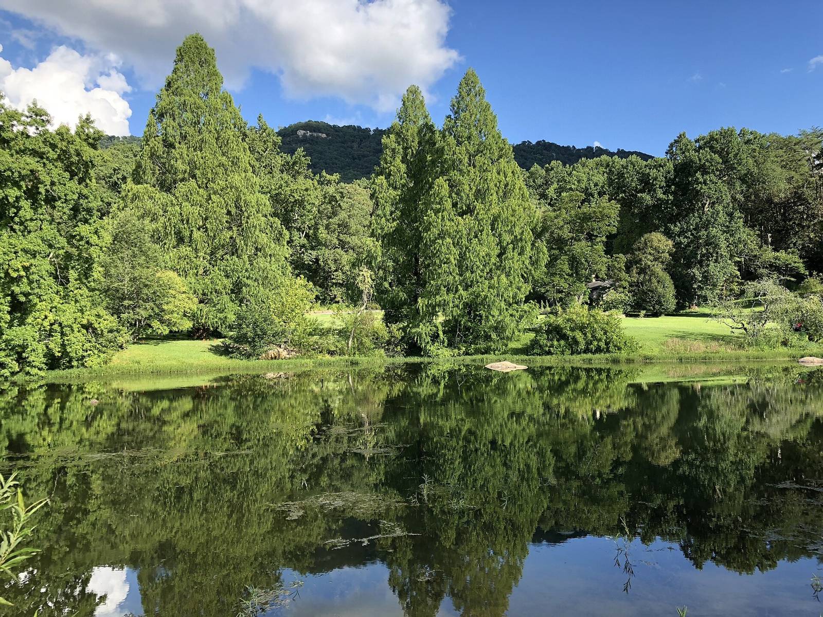
GA DNR WRD_Water_Access_Points FID 734: waterbody Sawmill Lake (Small Impoundment); ramp=N canoe=N pier=N bank=Y restroom=N status=Open.
Outdoor Chattanooga horseback map marker id 222.
Fee: GA Lands Pass or licenseHours: All climbing/hiking/bike trails closed during firearms deer seasons; closed before 10am during archery deer and turkey seasons
Nearby
Close to here
Huckleberry Point
146-001
Dugout
Commet Boulder
Hood Loop Trail
Source: Outdoor Chattanooga · Also listed at georgiawildlife.com outdoorchattanooga.com · OpenStreetMap (ODbL)