
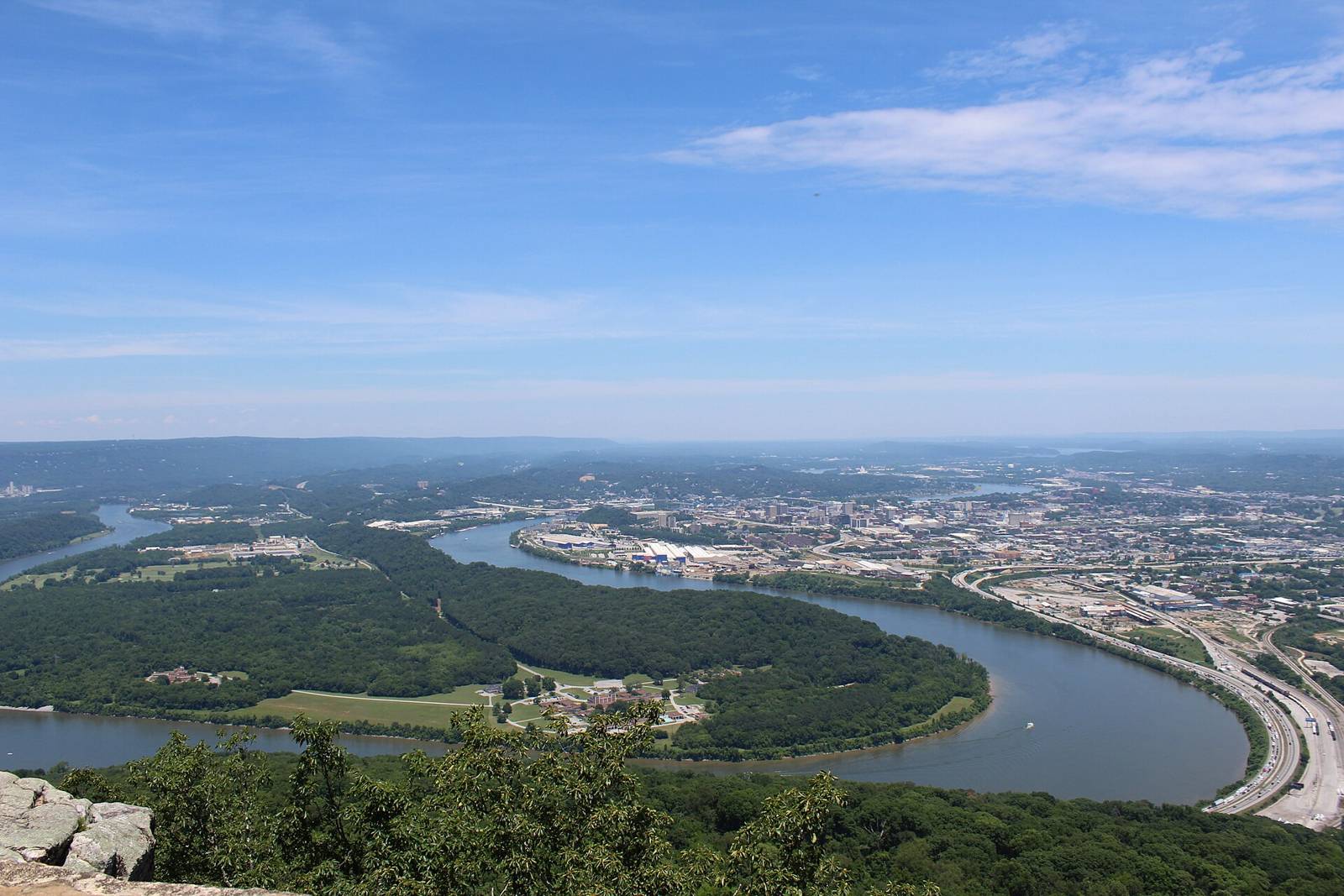
 Gloria Bell · CC BY 2.0
Paddling · WhitewaterActivities
Dayton & Laurel-SnowTN
varies (see AW page)Managed by
AW reach 1000012: Clifty Creek — Lower Rockwood Road to Emory River (class III, 10 mi). First access POI ‘Put-in – Lower Rockwood Road’ used as put-in. 3 rapids/POIs with lat/lng on AW. AW primary gauge linked (flow status available).
Maps & guidebooks
- American Whitewater National Whitewater Inventory
Nearby
Close to here
Flat Rock Ford (TVA stream access)
Caney Creek Marina (TVA ramp)
Piney Creek — Hwy 70 to Hwy 27 (Whites Creek) (put-in)
Tom Fuller Ramp
Rockwood Beach
Source: American Whitewater, TWRA & TVA