
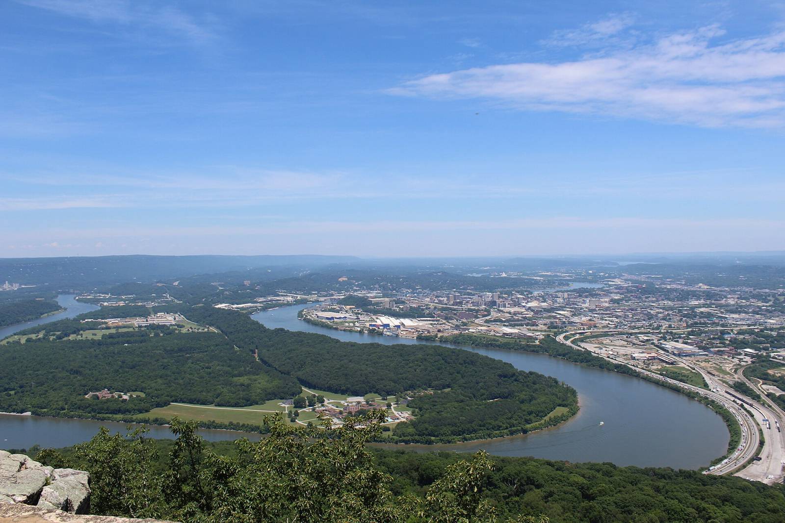
 Gloria Bell · CC BY 2.0
Paddling · WhitewaterActivities
Dayton & Laurel-SnowTN
varies (see AW page)Managed by
AW reach 4188: Basin Creek — Jeep Trail to Fall Creek (class V, 3.6 mi). First access POI ‘Put In’ used as put-in. Take-out(s): Take Out 35.8382,-84.7997.
Maps & guidebooks
- American Whitewater National Whitewater Inventory
Nearby
Close to here
Ozone Falls
Ozone Falls SNA trailhead
Black Mountain Trailhead
Mammys Creek — US 70 to US 27 (put-in)
Grassy Cove – Black Mountain
Source: American Whitewater, TWRA & TVA