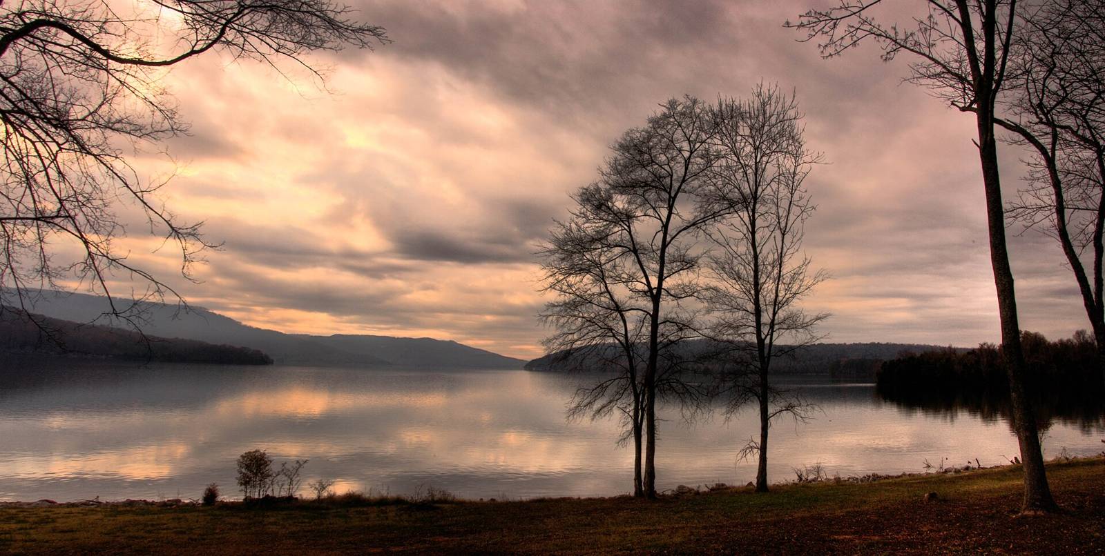
Sunset over Nickajack LakeBryce Edwards · CC BY 2.0
South Cumberland & Sequatchie Valley Paddling access

Sequatchie River

Fishing · Paddling · Swimming, Diving & Water SportsActivities
Nickajack ReservoirTN
TVAManaged by

The Sequatchie River is a 116-mile-long (187 km) waterway that drains the Sequatchie Valley, a large valley in the Cumberland Plateau in Tennessee. It empties into the Tennessee River downstream from Chattanooga near the Tennessee-Alabama state line.

TWRA Boating & Fishing Access Sites layer; water body: Nickajack; county Marion; Access_Num 2005.0.

TWRA AllAccessSites OBJECTID 47, Access_Num 2005; waterway Nickajack Reservoir. ramp: Concrete; lanes: 2; courtesy dock: Yes; restrooms: Yes; usable at winter pool: Yes; ADA parking: Yes; motorized: Yes

Text adapted from Wikipedia, CC BY-SA 4.0.

Fee: NoHours: 24
Directions Official page at tnmap.tn.gov
Know this place?

Suggest an update for Sequatchie River

Parking that moved, a fee that changed, a better photo, a link to the club or guidebook that covers it — anything that helps the next person. An editor reads every note before it goes on the page.

or email us instead

Photos you send must be yours or openly licensed; we print the credit.

On the calendar

Upcoming events here

Nearby

Close to here

Paddling access0.8 mi

Nickajack Lake

Fishing Hiking Paddling Nickajack Reservoir
Park0.8 mi

Shellmound Campground

Camping Paddling Swimming, Diving & Water Sports South Cumberland & Sequatchie Valley
Boat ramp0.8 mi

Shellmount boat access

Fishing Paddling Swimming, Diving & Water Sports South Cumberland & Sequatchie Valley

Source: Outdoor Chattanooga · Also listed at tnmap.tn.gov tn.gov · OpenStreetMap (ODbL)