
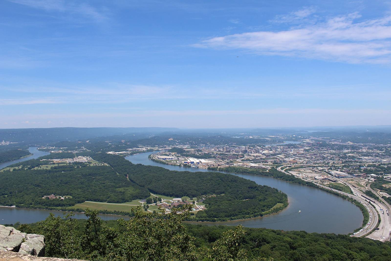
 Gloria Bell · CC BY 2.0
Little River Canyon, DeSoto & Fort Payne
Paddling access
Wolf Creek (LRC Tributary) — Rt. 176 to Little River (put-in)
Paddling · WhitewaterActivities
Little River Canyon, DeSoto & Fort PayneAL
varies (see AW page)Managed by
AW reach 3024: Wolf Creek (LRC Tributary) — Rt. 176 to Little River (class Vplus, 0.7 mi). First access POI ‘Put In’ used as put-in. Take-out(s): Take Out 34.3640,-85.6640. AW primary gauge linked (flow status available).
Maps & guidebooks
- American Whitewater National Whitewater Inventory
Nearby
Close to here
LIRI – Wolf Creek Parking
Little — 3. Eberhart Point (Chairlift) to Canyon Mouth Campground (put-in)
LIRI – Canyon View Parking
LIRI – Graces High Falls Parking
LIRI – Hawk’s Glide
Source: American Whitewater, TWRA & TVA