
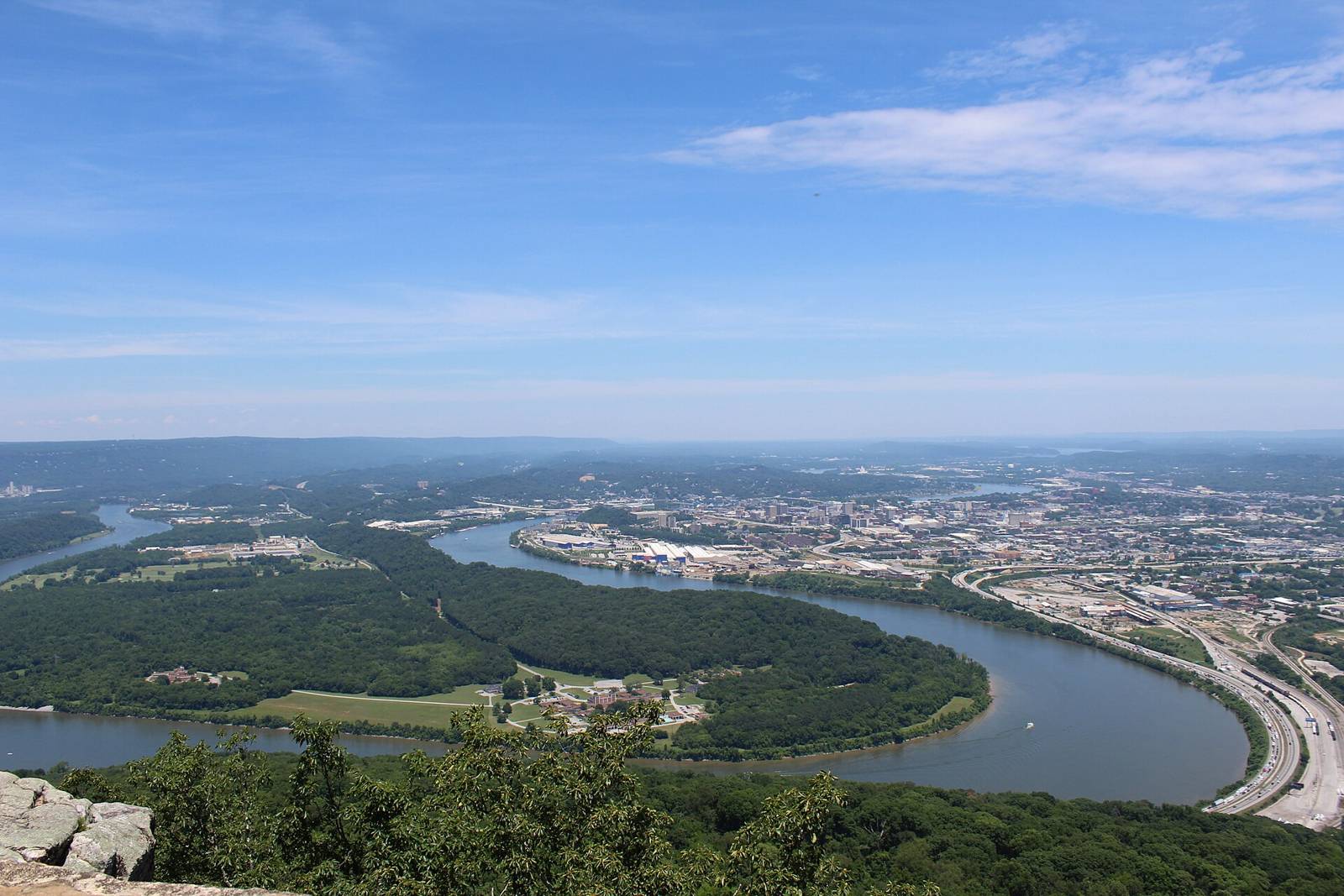
 Gloria Bell · CC BY 2.0
Paddling · WhitewaterActivities
Signal Mountain & Prentice CooperTN
varies (see AW page)Managed by
AW reach 1789: Suck Creek — Suck Confluence to Bridge (class IVtoVplus, 2 mi). First access POI ‘Put In’ used as put-in. Take-out(s): Take Out 35.1242,-85.3902. 13 rapids/POIs with lat/lng on AW.
Maps & guidebooks
- American Whitewater National Whitewater Inventory
Nearby
Close to here
Edwards Point / Signal Mountain bluff trails
Prentice Cooper – Suck Creek Road CT trailhead
Prentice Cooper State Forest & WMA
Shackelford Ridge Trailhead, (non CT trailhead)
Edwards Point overlook
Source: American Whitewater, TWRA & TVA